

Cape Cod National Seashore · Cape Cod neighborhood guide
Things to Do in Cape Cod National Seashore
Cape Cod National Seashore is 40 miles of protected Atlantic shore: wild ocean beaches, glacial dune trails, and lighthouses guarding three centuries of shipwrecks. Here's what's actually worth your time, ranked and judged.
Cape Cod National Seashore in brief
Can I use my national park pass at Cape Cod National Seashore?
Yes. The America the Beautiful annual, senior, or military interagency pass works here just like at any other NPS site, covering vehicle parking and entrance fees at the seashore's beaches.
Is Cape Cod National Seashore worth visiting?
Absolutely. Forty continuous miles of protected Atlantic beach, dune and marsh trails, two lighthouses, and real history like Marconi's first transatlantic wireless signal, and most of it costs nothing once you're through the gate.
What is the prettiest beach in Cape Cod?
Inside the Seashore itself, Coast Guard Beach in Eastham is the one everyone points to: wide sand, grassy dunes, and boardwalk access that keeps landing it on national best-beach lists.
Get oriented
How Cape Cod National Seashore fits together
The seashore isn't a single site, it's a 40-mile protected strip running from Eastham up to Provincetown, threading through several towns.
Two visitor centers bookend the park: Salt Pond in Eastham, open year-round, and Province Lands in Provincetown, open May through October. Between them sit the six official swimming beaches, Coast Guard and Nauset Light in Eastham, Marconi in Wellfleet, Head of the Meadow in Truro, and Race Point and Herring Cove in Provincetown, plus quieter draws like Fort Hill and Great Island's marsh trails, the Three Sisters lighthouses, and the eroded footprint of Marconi's wireless station. Paved bike trails at Nauset and in the Province Lands connect into the longer Cape Cod Rail Trail further inland. This guide covers the protected land itself: the trails, visitor centers, biking, and history. For restaurants, nightlife, and lodging, head to the Eastham, Wellfleet, or Provincetown guides for the towns that border it.
A rough south-to-north route through the seashore, from Eastham's marshes to the dunes at the very tip of the Cape:
See & do, ranked
The best stops in Cape Cod National Seashore, ranked
Our honest take on the seashore's visitor centers, beaches, lighthouses, and trails, from Coast Guard Beach and Nauset Light to the Province Lands dunes, ranked and judged.
Must-see
The essentials, ranked.- 1
 Eastham Worth it
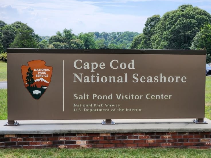
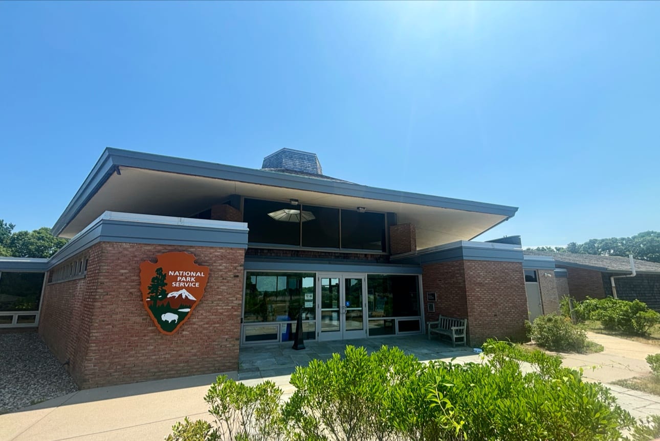
Cape Cod National Seashore (Salt Pond Visitor Center)
The year-round front door to the whole seashore, and the smartest first stop before you pick a beach.
Salt Pond Visitor Center is the year-round front door to Cape Cod National Seashore, open daily while its Province Lands counterpart shuts down for winter. It's the natural first stop for orientation: rangers here can point you toward Coast Guard Beach, the Fort Hill trail, and the paved Nauset Bike Trail, all a few minutes' drive away, and a small theater and museum cover the geology, shipwrecks, and glacial history that shape everything you'll see outside. There isn't a single showstopping artifact inside, and it doesn't need one. Its job is to send you out the door prepared, not to be the destination itself, and it does that job well.
Freeon GoogleGood for families, solo, couples
Sourcesnps.gov
- 2
 Eastham Worth the hype
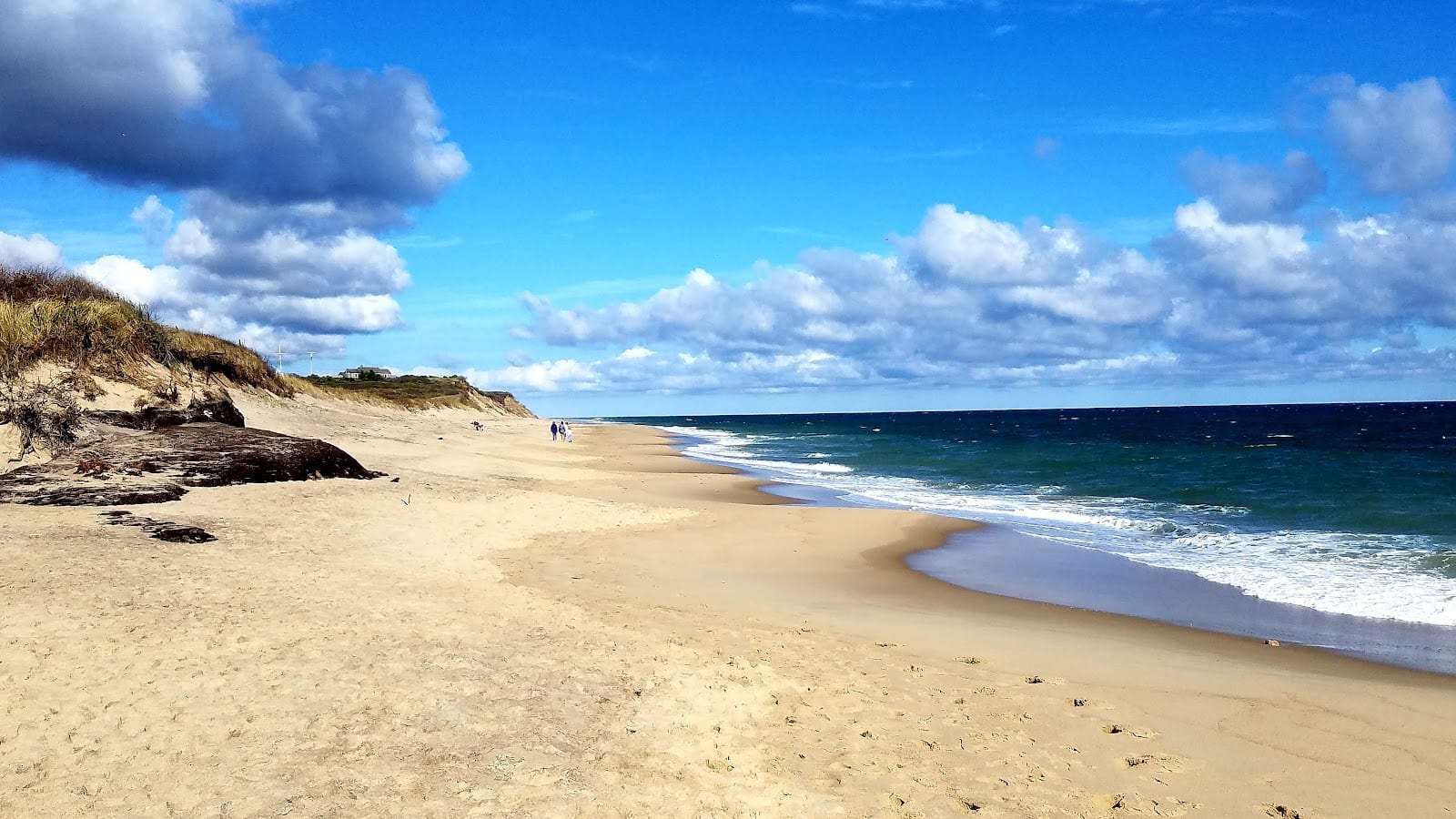
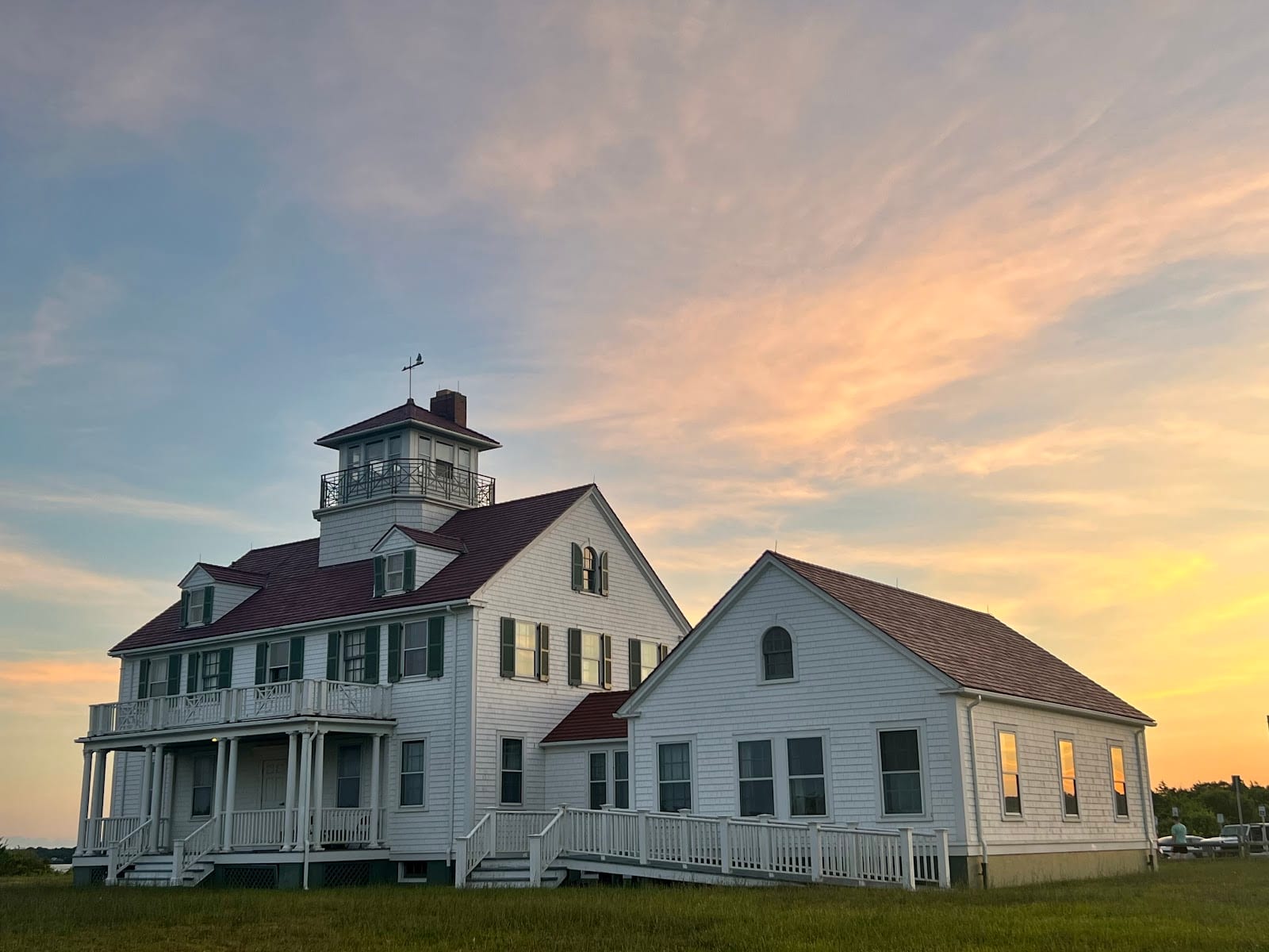
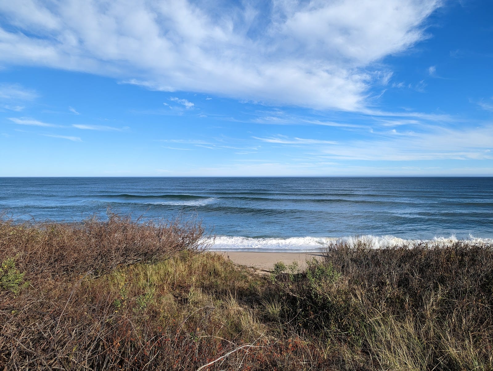
Coast Guard Beach
The seashore's most celebrated beach, and the site where the Atlantic itself once erased a literary landmark.
Coast Guard Beach is where Thoreau's 'Great Beach' begins, a wide crescent backed by the 1937 Coast Guard station building that served here until 1958 and then became the National Seashore's very first headquarters in 1961. Henry Beston wrote 'The Outermost House' in a dune cottage nearby in the 1920s, and that cottage, along with the original parking lot, was wiped out by the Great Storm of 1978, when 92 mph winds and a 14.5-foot tide overwashed the point. The Park Service rebuilt smarter afterward, moving the lot inland in the 1980s to let erosion run its natural course. In summer, parking is restricted to Eastham residents and most visitors ride a shuttle in from Little Creek instead. It's crowded and it's a walk from the lot, and it's still worth every bit of the hassle.
Good for families, couples, solo
Sourcesnps.gov
- 3
 Provincetown Worth the hype
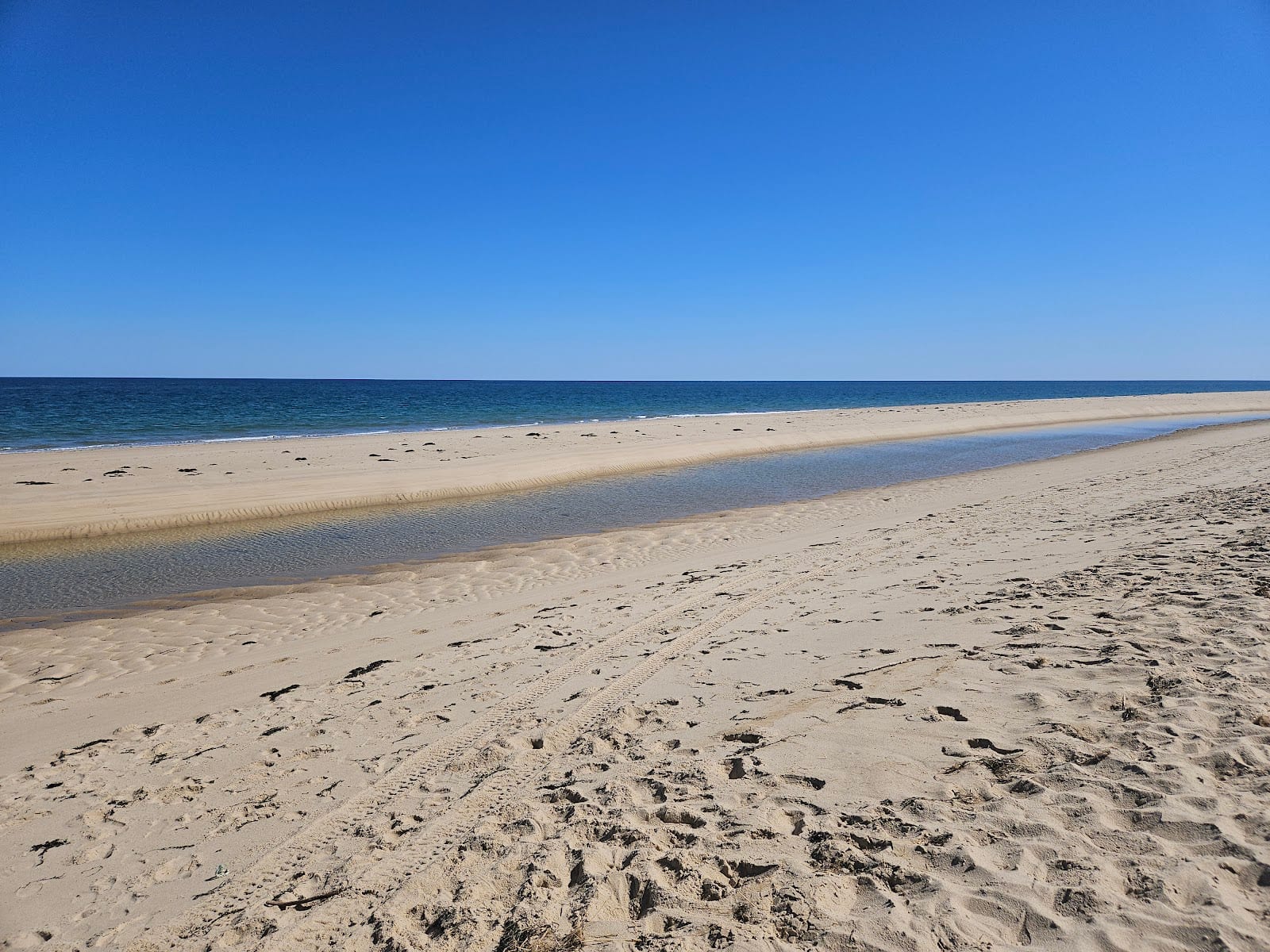
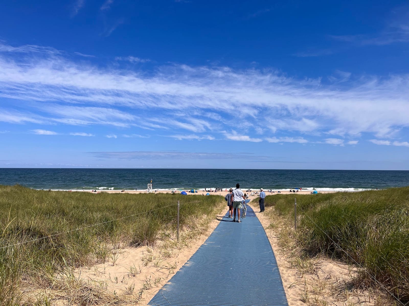
Race Point Beach
The wildest beach at the very tip of the Cape, with whales, seals, and sometimes sharks feeding just offshore.
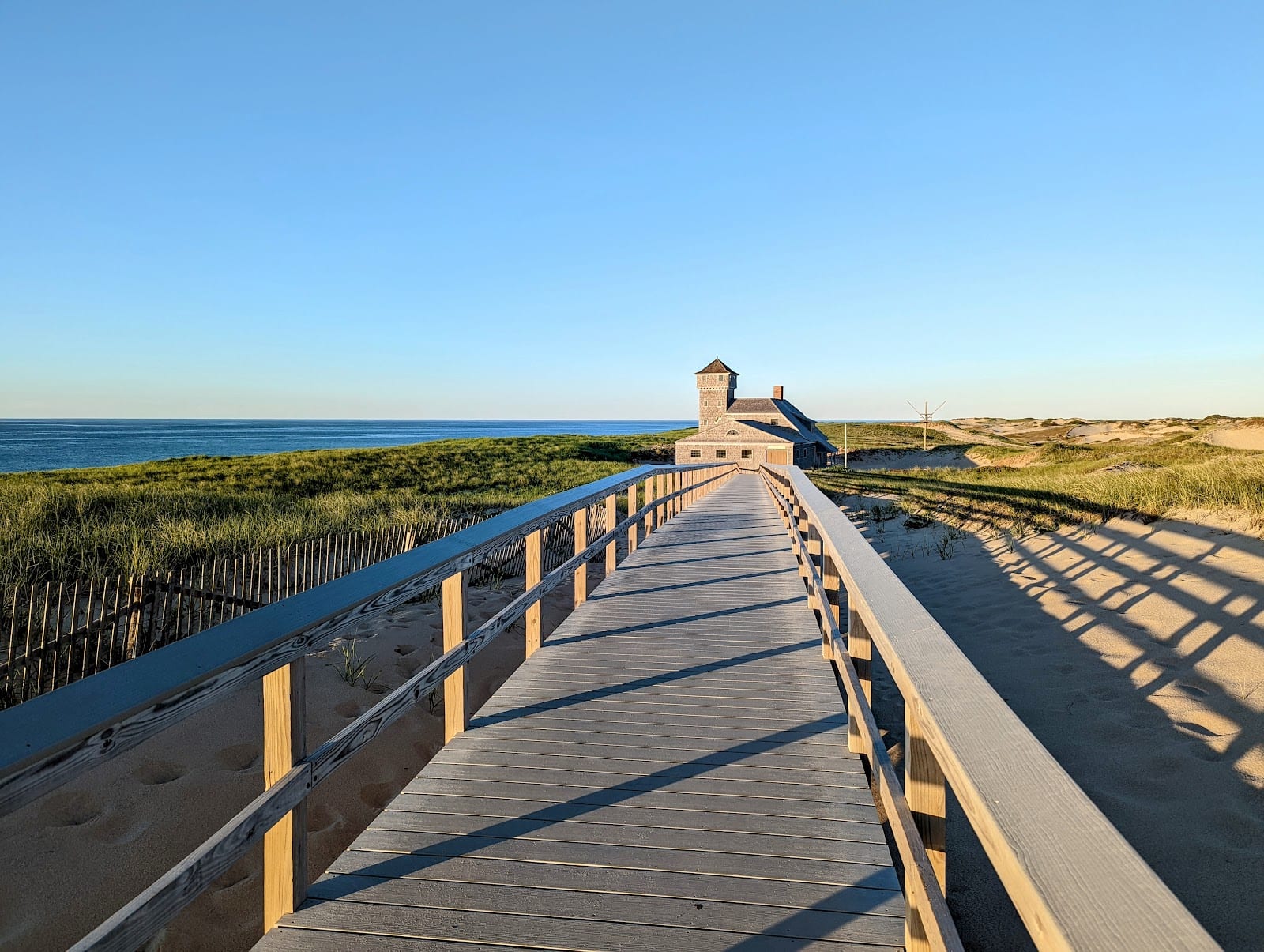
Race Point faces open ocean at the very end of the Cape, where the water drops to roughly 150 feet just offshore, close enough that whales, seals, and even sharks are regularly spotted from the sand. The Old Harbor Life-Saving Station, one of thirteen original Cape Cod lifesaving stations built starting in 1872, was relocated here from an eroding site in Chatham in 1977-78 and now runs as a small museum. The beach also has the biggest oversand vehicle trail system of any seashore beach, with air compressors on-site for tire pressure, and Race Point Lighthouse offers tours twice a month in season for a minimum $5 donation. Beach admission is free after 4:30pm in summer, which locals use for sunset and whale-spotting without paying the daytime fee. It's a real drive from anywhere, and absolutely worth the trip out.
Standard seasonal NPS entrance fee; free after 4:30 PM in summeron GoogleGood for families, couples, solo
Sourcesnps.gov
- 4
 Eastham Worth it
Nauset Light Beach
A broad sandy beach named for the lighthouse next door, with the ghost of a third 'sister' sometimes surfacing in the sand.
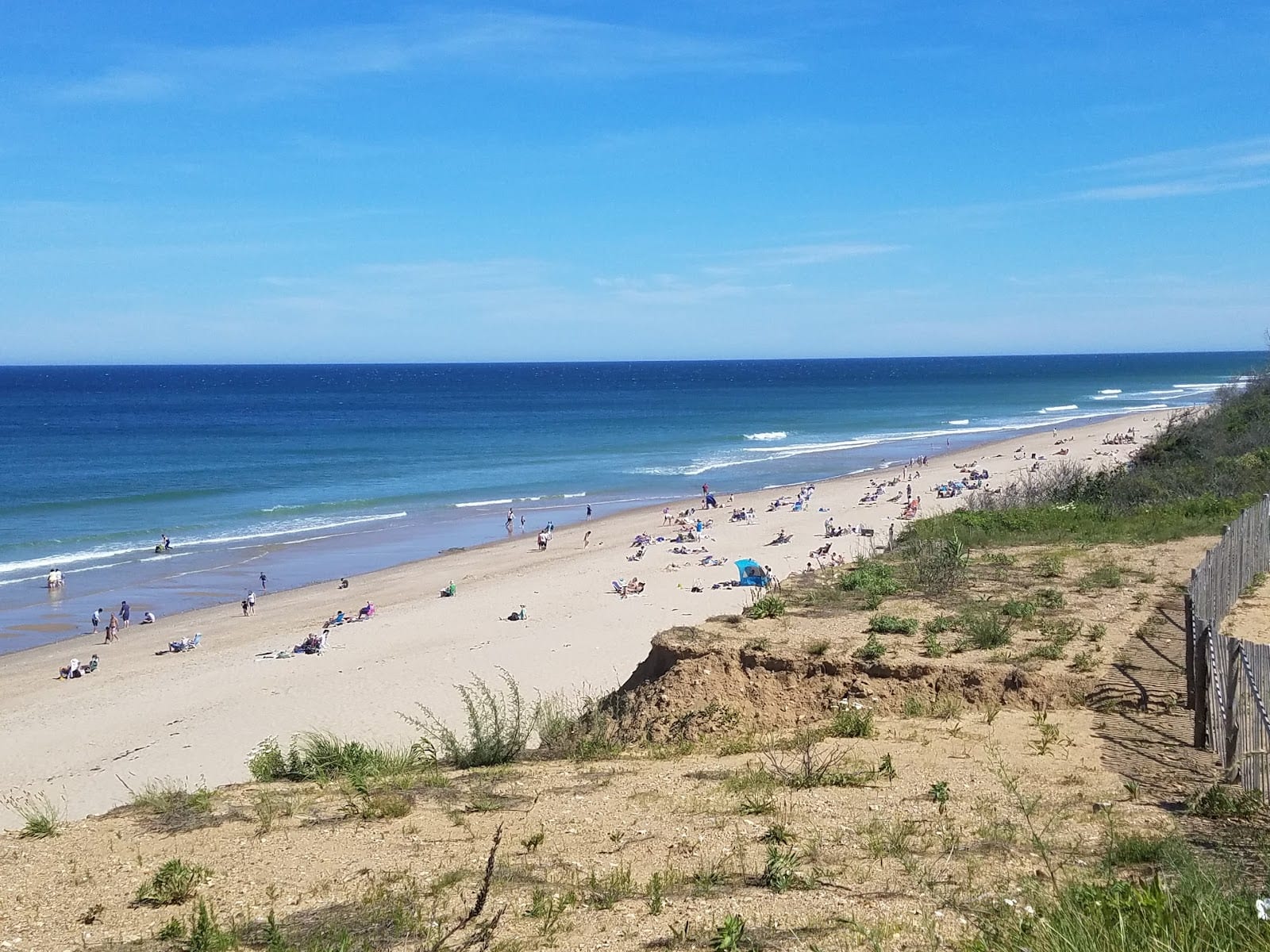
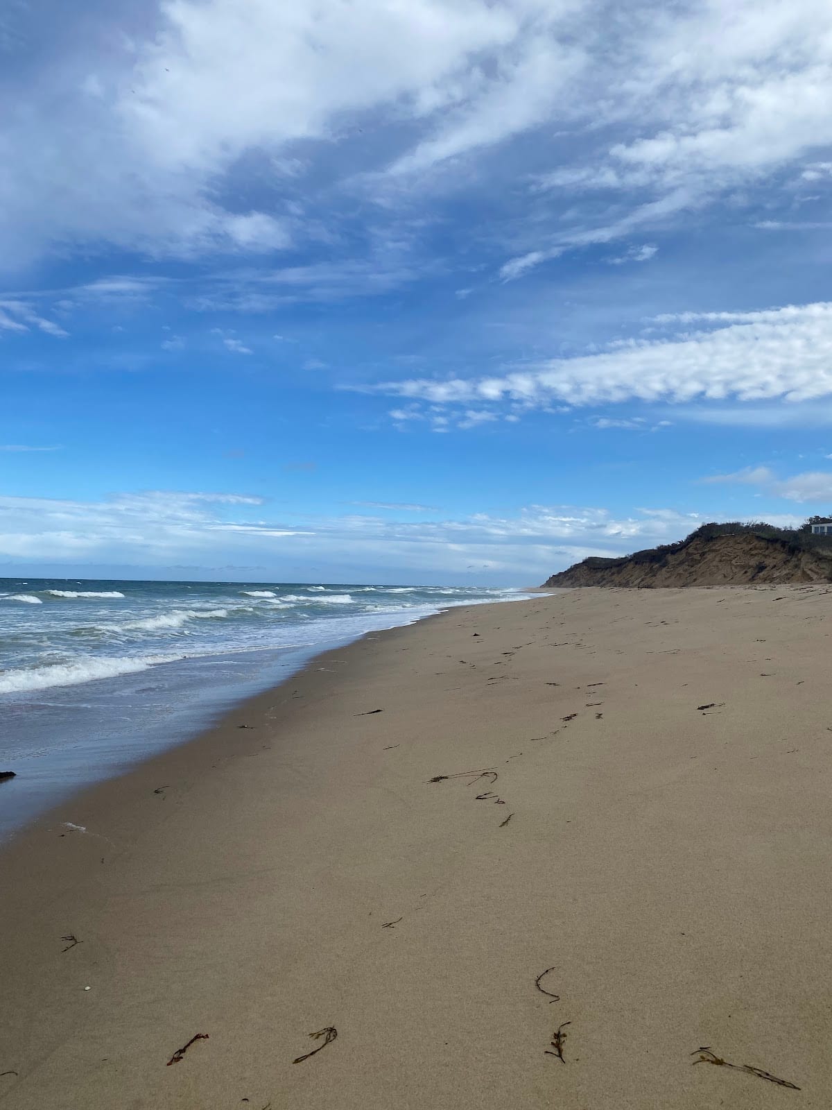
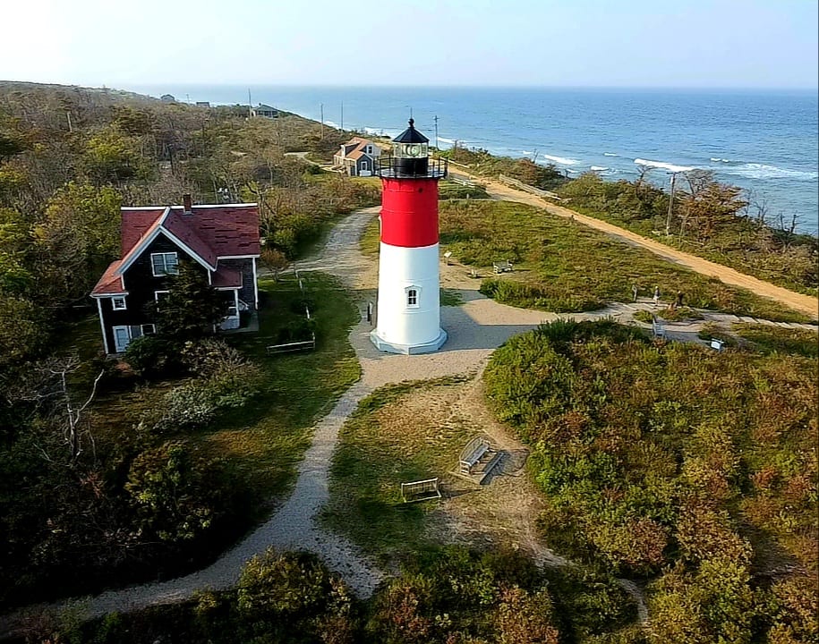
Nauset Light Beach sits a mile north of Coast Guard Beach below a steep glacial bluff, named for the 1838 lighthouse just up the path. The old French Cable Hut, built in 1891 to connect a transatlantic telegraph line before the station moved to Orleans, still sits at the edge of the parking lot, an odd little relic most visitors walk right past. Entrance fees, $20 per vehicle, $3 for walkers and cyclists, apply only when lifeguards are on duty, roughly late June through early September, and on summer weekends. In winter, when storms lower the beach profile, the exposed sand occasionally reveals the brick foundation of one of the original 'Three Sisters' lighthouses, a reminder of how much of this coastline has already been swallowed by the Atlantic.
$20/vehicle, $3 pedestrian/bike (seasonal, when lifeguards on duty)on GoogleGood for families, couples, solo
Sourcesnps.gov
- 5
 Wellfleet Worth it
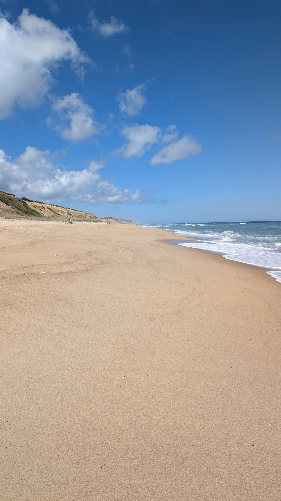
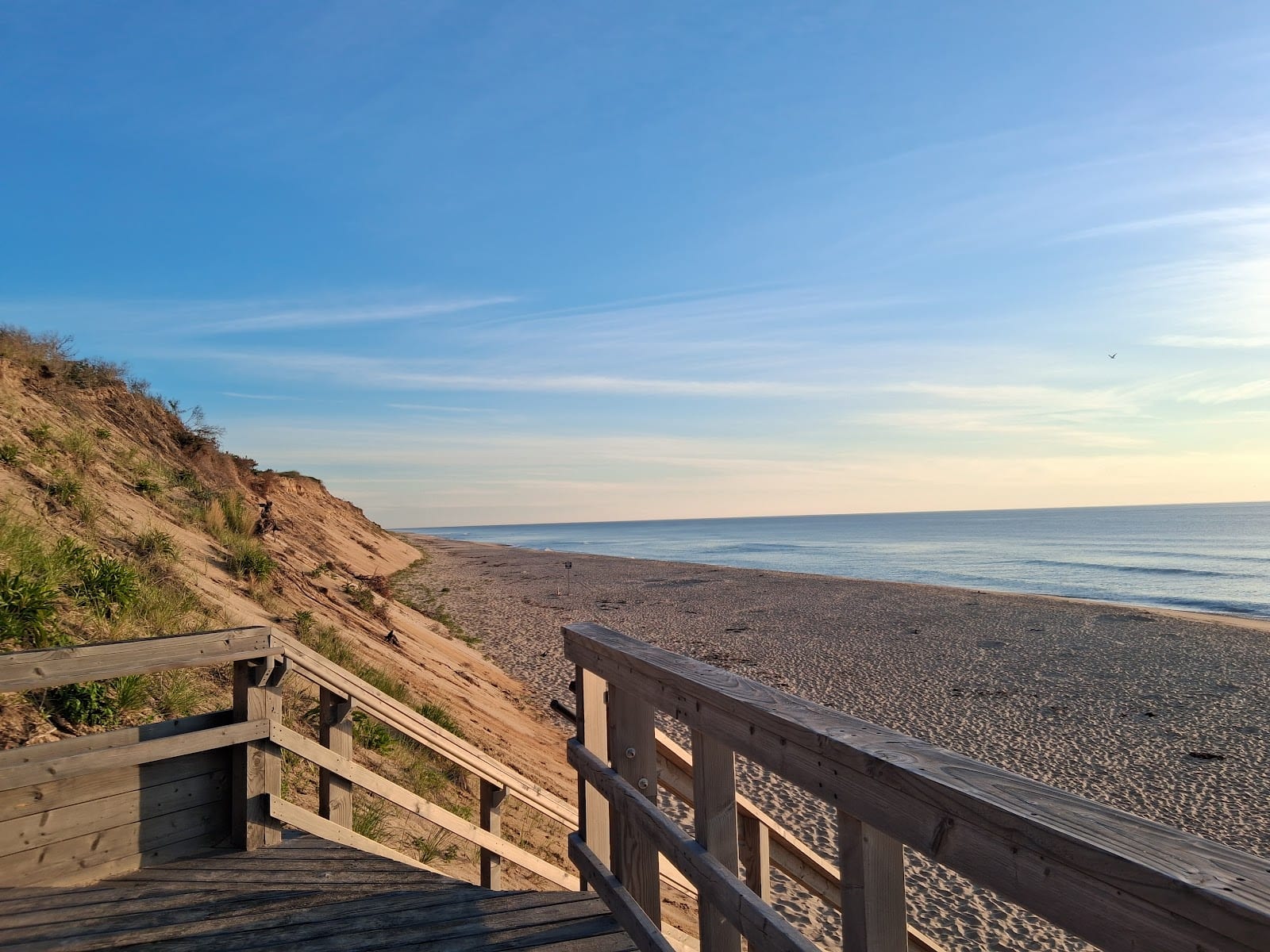
Marconi Beach
A dramatic bluff-backed beach doubling as the site of the first transatlantic wireless message, sent here in 1903.
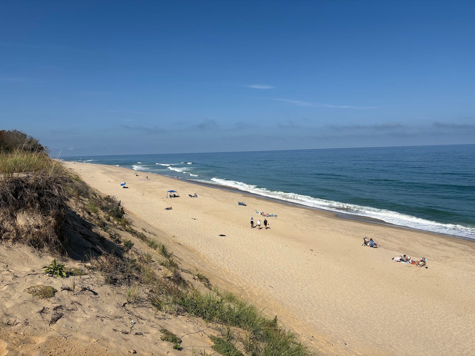
Marconi Beach takes its name from the wireless station Guglielmo Marconi built on the bluff above, from which he sent the first transatlantic wireless message on January 18, 1903, an exchange between the U.S. president and the king of England. The station went obsolete within a few years, and the uplands later served as a WWII artillery range before the Park Service took over and moved its own headquarters here in 1965. Today the beach sits below what was once a forty-foot sand cliff, with an observation platform up top marking the actual transmission site. Parking runs $15 a day, and the Atlantic White Cedar Swamp Trail, a 1.5-mile boardwalk loop through heathland and pitch pine, starts nearby if the beach itself feels crowded.
$15/day parkingon GoogleGood for families, couples, solo
Sourcesnps.gov


Worth it with more time
Good additions once you've done the icons.- 6
 Eastham Worth it
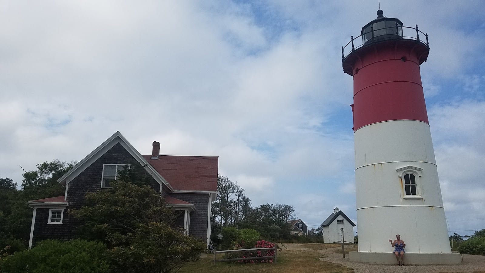
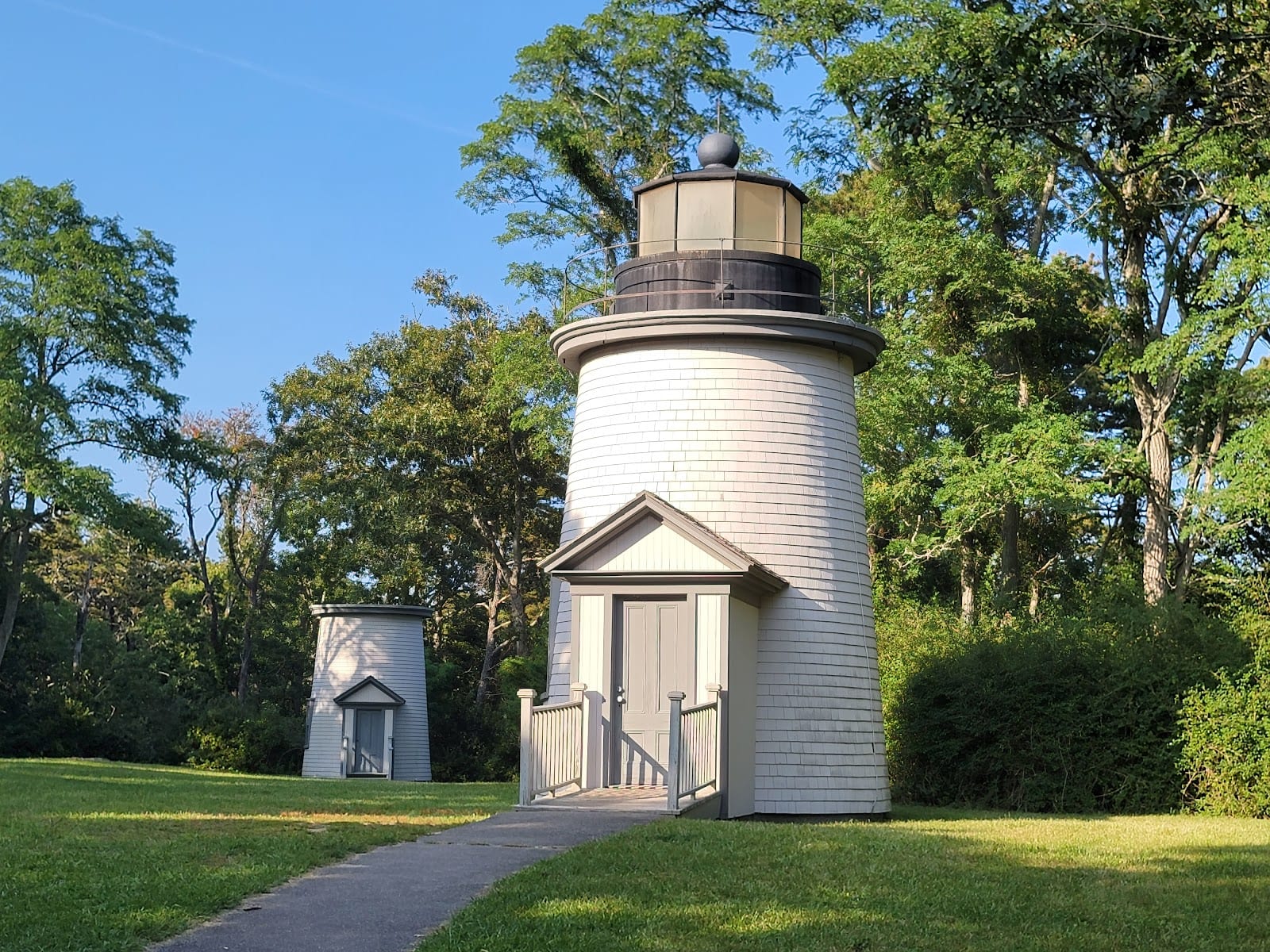
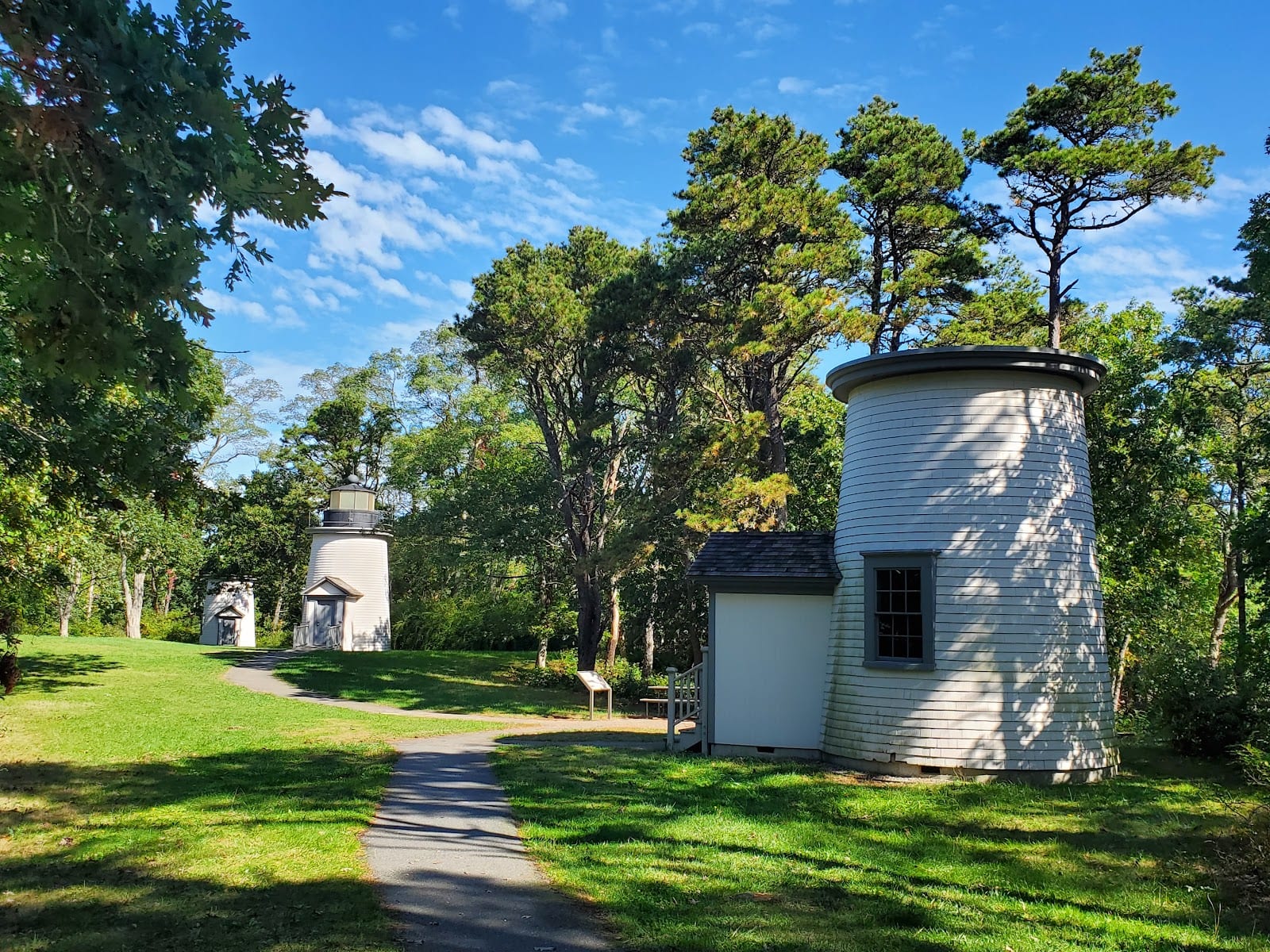
Nauset Light Lighthouse & Three Sisters Lighthouses
Three lighthouses with one weird shared history: sold at auction for $3.50, turned into a dance studio, and eventually reunited.
The Three Sisters were built in 1838 after Eastham residents petitioned Congress, worried about ships wrecking along this stretch, and for decades their three matching towers, nicknamed for resembling women in white dresses and black hats, guided sailors past the shoals. When erosion forced their retirement, two were sold at public auction for a grand total of $3.50, moved to Cable Road, and joined into a single building later used as a summer cottage and then a dance studio. The Park Service bought them back in 1965 and 1975, reunited all three on their original plot, and opened them for public tours in 1989. Nauset Light itself, a relocated former Chatham lighthouse a short walk away, is still active and opened to visitors on a limited seasonal schedule. It's a strange, layered detour off the beach parking lot, worth the short walk.
Good for families, couples, solo
Sourcesnps.govnausetlight.org
- 7
 Provincetown Worth it
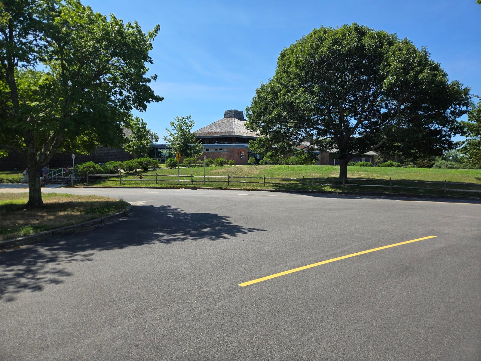
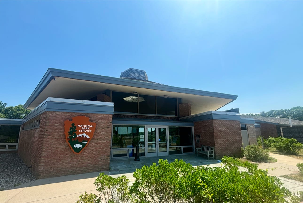
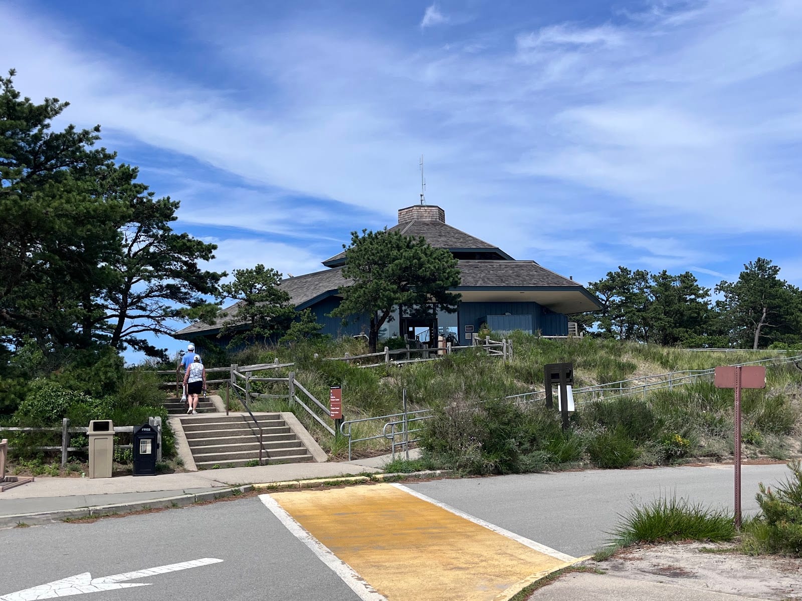
Cape Cod National Seashore (Province Lands Visitor Center)
The seasonal visitor center at the Cape's tip, with a 360-degree observation deck over dunes, ocean, and sometimes whales.
Province Lands Visitor Center sits at the very tip of the Cape, the seasonal counterpart to Salt Pond, open daily 9am to 5pm from May through October and shuttered the rest of the year. Its observation deck is the real draw: a 360-degree sweep across the Province Lands dunes, the Outer Beach, Race Point, the Old Harbor Life-Saving Station, and the Pilgrim Monument off in Provincetown, with whales and seabirds visible from the railing on a good day. Inside, the award-winning orientation film 'Standing Bold' runs on a loop with open captions, and an Eastern National shop sells maps and field guides. Come for the view more than the exhibits, and note the deck itself stays open year-round even when the building closes for winter.
Freeon GoogleGood for families, solo, couples
Sourcesnps.gov
- 8
 Eastham Worth it
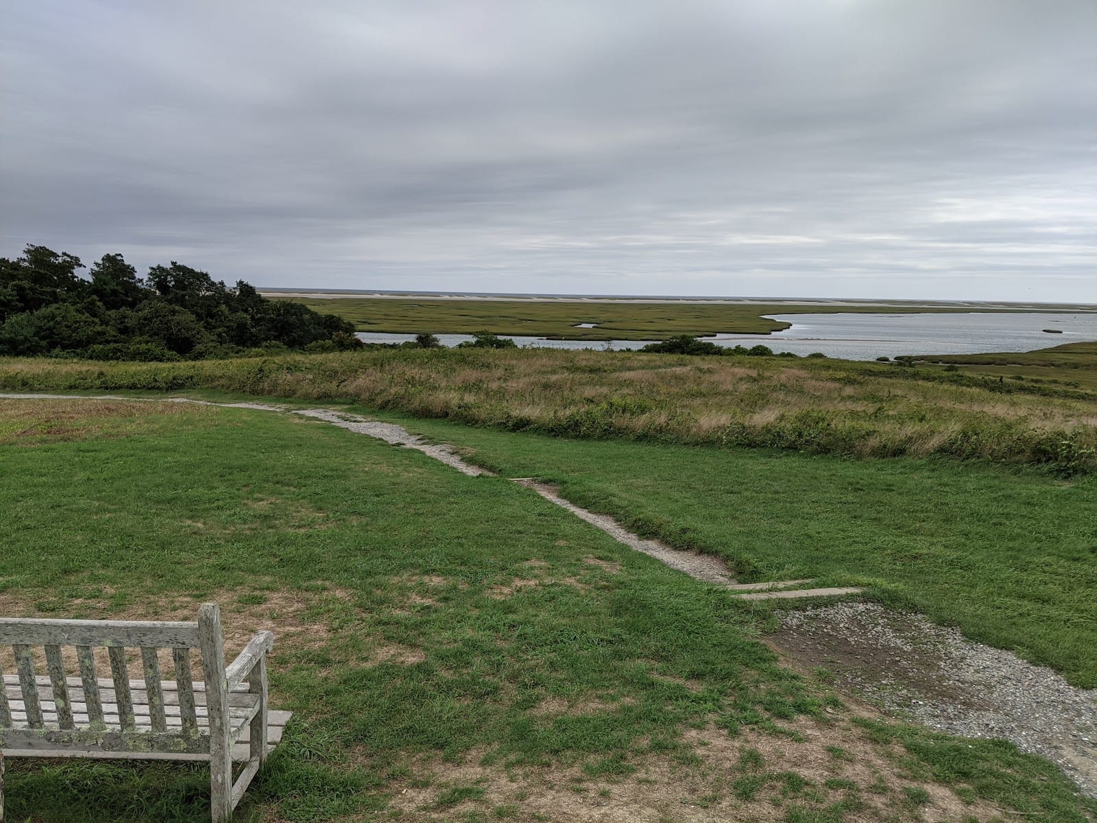
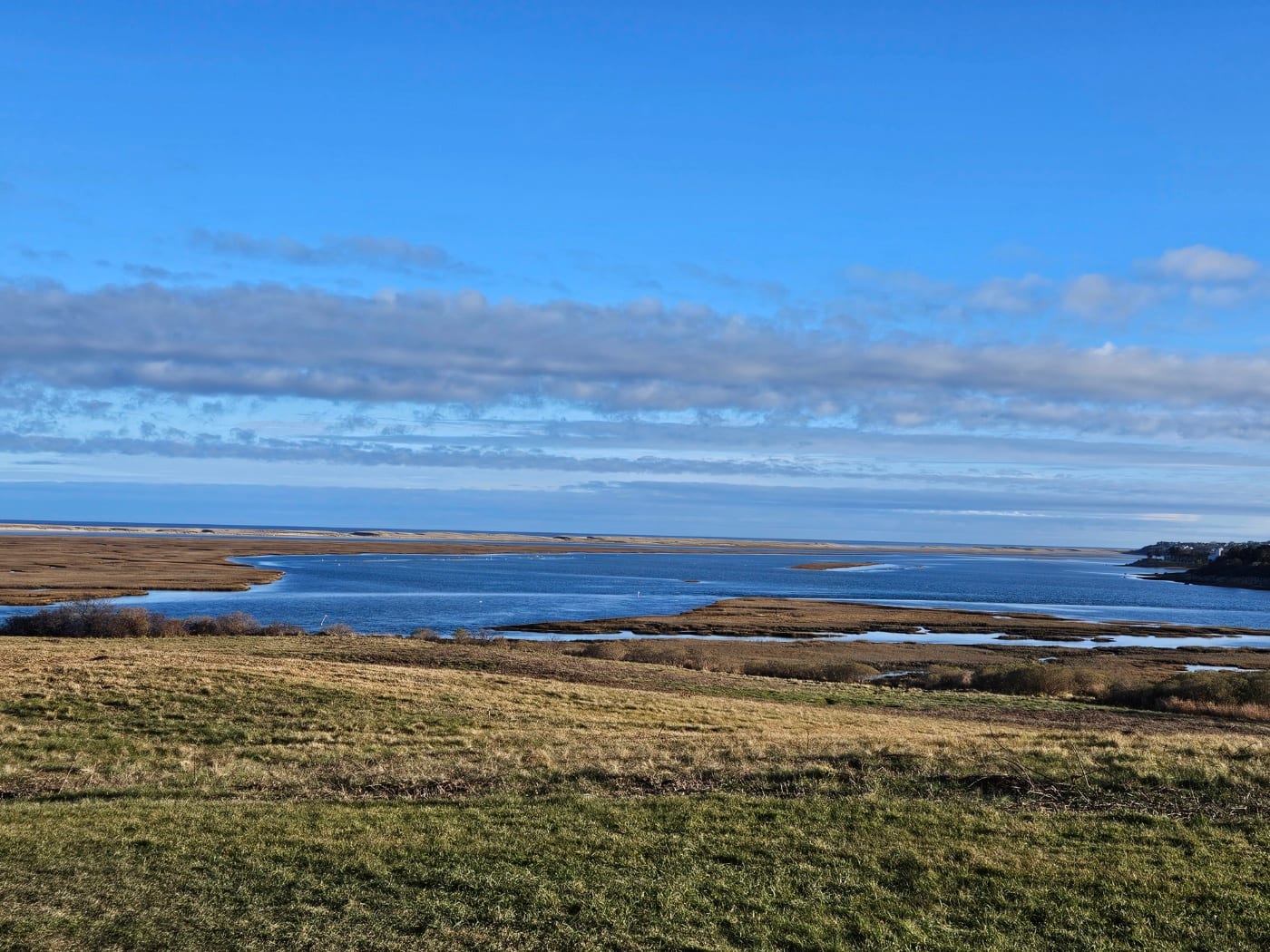
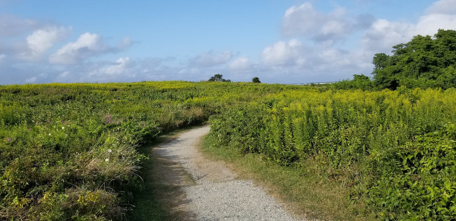
Fort Hill Trail
A one-mile loop through farmland and marsh views that, almost by accident, helped save the entire National Seashore.
Fort Hill is named for a fort that was never actually built, just high ground the Nauset people and later Plymouth Colony settlers valued for its views over Nauset Marsh. In the late 1950s a developer began carving the hill into house lots, and it took a 1961 helicopter visit by Congressional leaders, reportedly a turning point in the push to create Cape Cod National Seashore, to change course. The mile-long loop today passes the 1868 Captain Edward Penniman House, an ornate whaling captain's home open in summer, and Indian Rock, a glacial boulder gouged with centuries-old Nauset grinding marks, moved to its current spot by the Park Service in 1965. It's an easy 30-to-45-minute walk with some of the best birdwatching on the Cape, and one of the few trails here that rewards a slow pace over a long one.
Good for families, couples, solo
Sourcesnps.gov
- 9
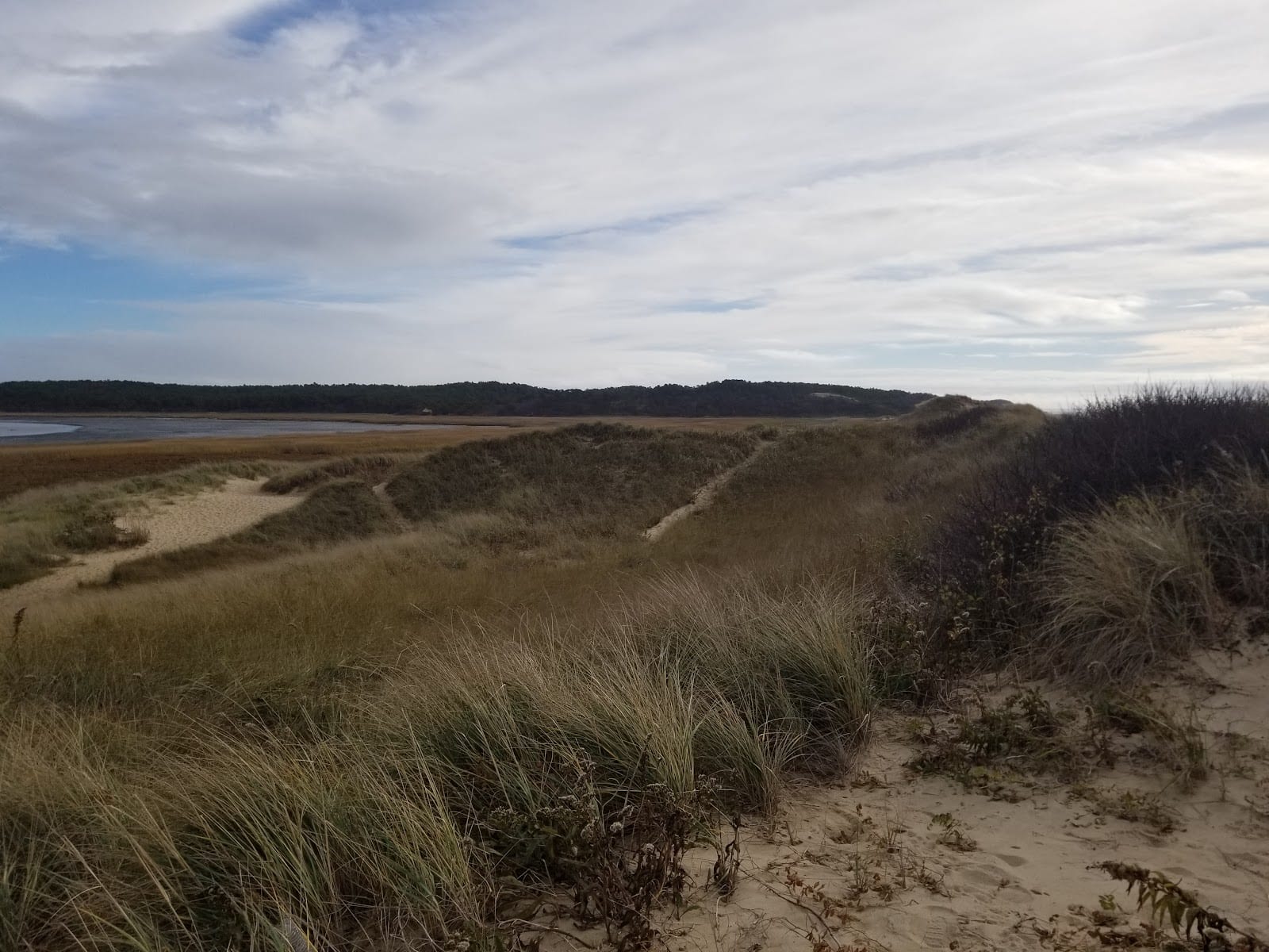 Wellfleet Worth the hype
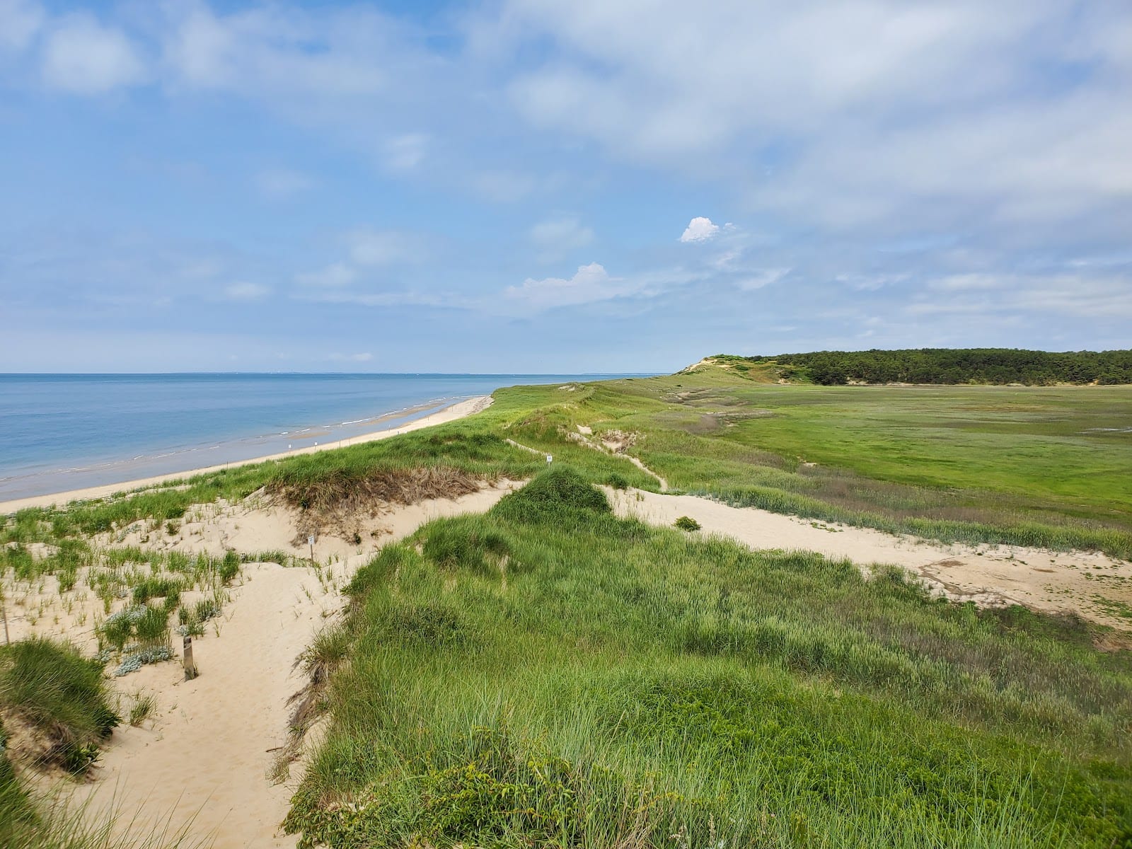
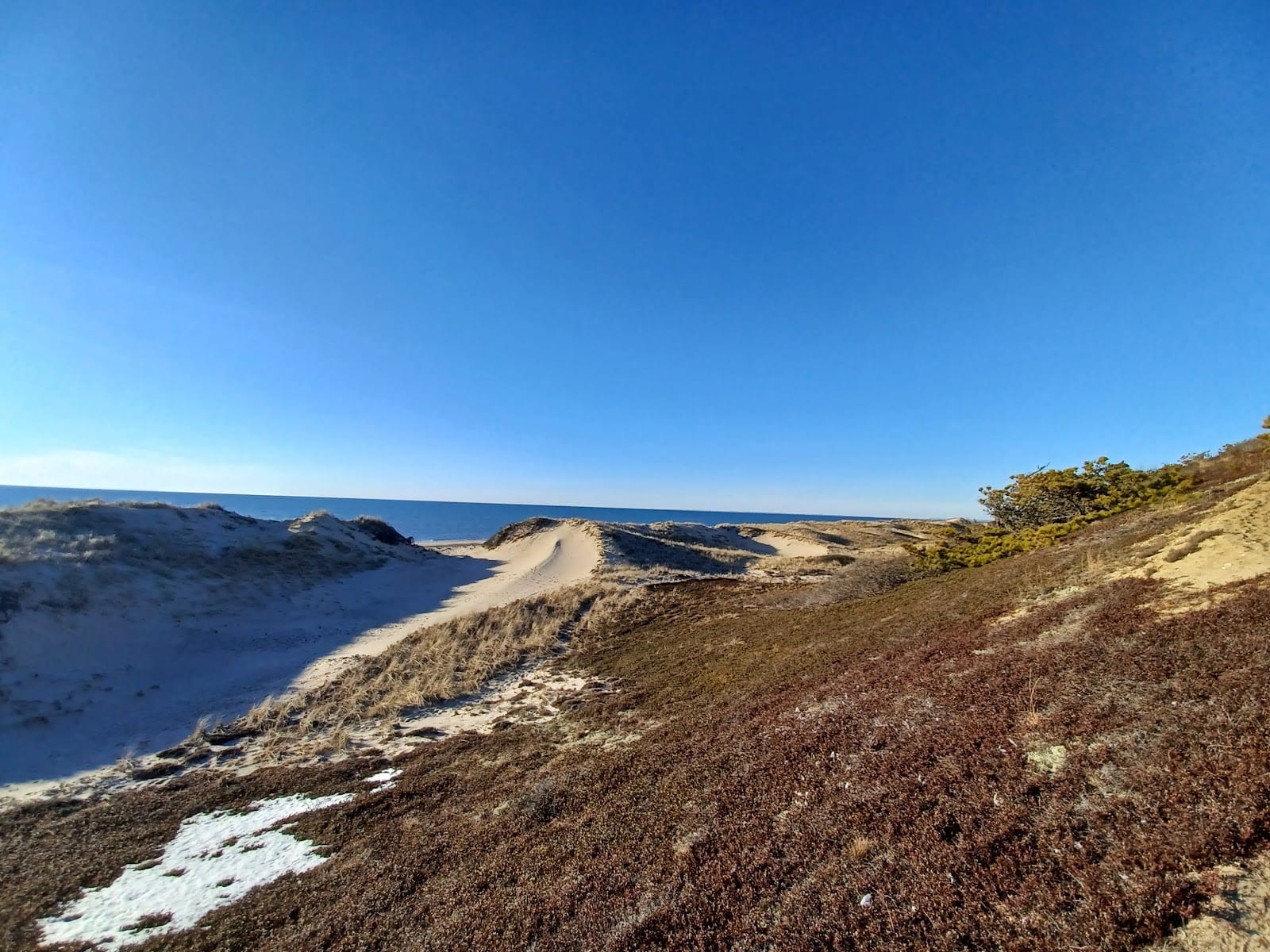
Great Island Trail
The park's hardest trail and, according to more than one guide, its best: an out-and-back to a nearly deserted sandbar.
The National Park Service itself calls Great Island the most difficult trail in the seashore: mostly soft sand, some log steps, sections that submerge at high tide. Great Island was a genuine offshore island until silt reconnected it to the mainland in the 1830s, and from 1690 to 1740 it hosted a tavern serving local fishermen and whalemen, its site now marked only by a wayside sign. The short loop to the tavern site runs about 3.9 miles round trip; committed hikers can push on toward Jeremy Point, a spit that sees more terns and harbor seals than people. Bring water and a trail map from the box at the trailhead, since the route isn't well marked and there's nothing out there but portable toilets. This is a real hike, not a beach stroll, and it earns every mile.
Good for solo, couples, friends
Sourcesnps.gov


Hidden gems
Where the crowds thin out.- Hidden gem
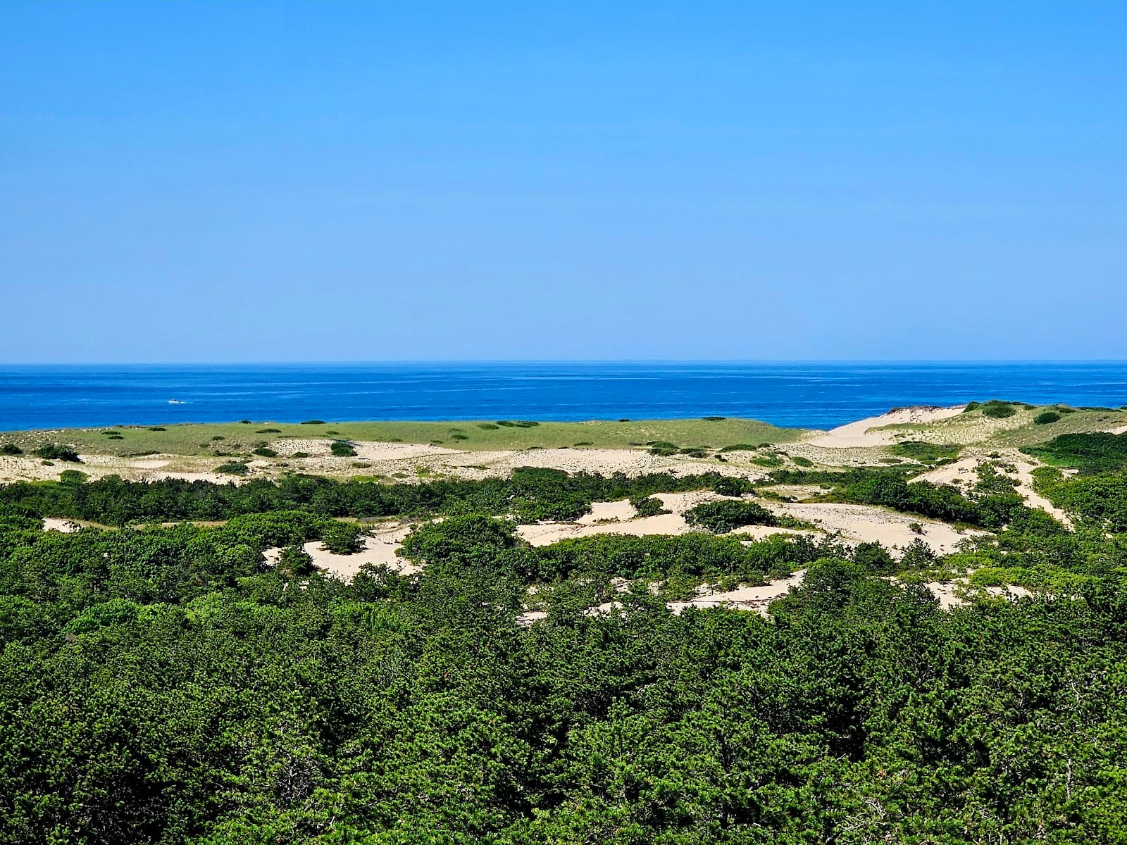
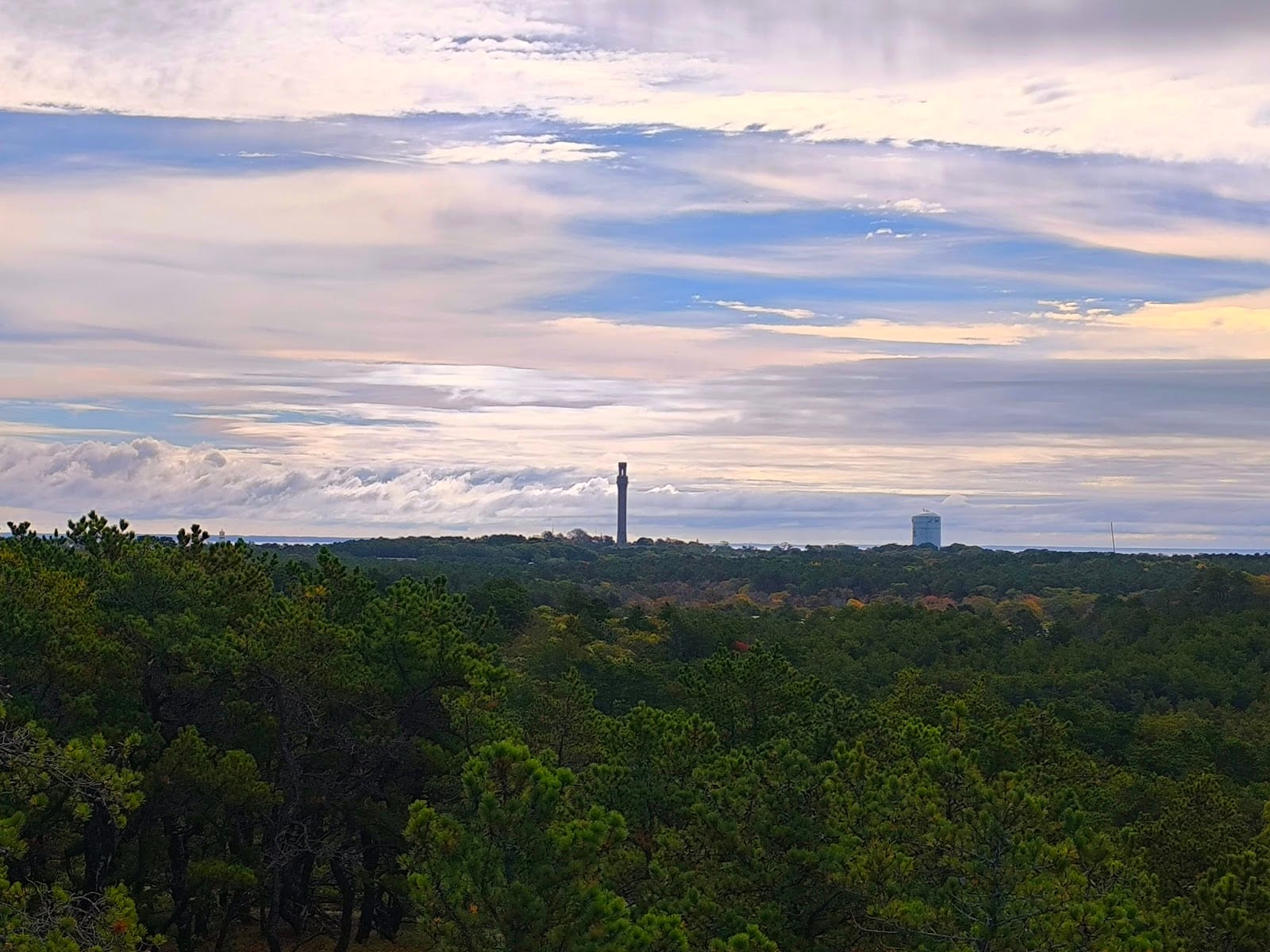
 Provincetown Mixed
Province Lands Dunes Trail
An unmarked mile of soft sand into dunes where Kerouac and Pollock once found shacks to write and paint in.
There's no official trailhead here, just roadside parking on Route 6 northbound and a rough mile of loose sand into the Province Lands dunes, no markers, just footprints to follow. The walk leads toward the Dune Shacks of Peaked Hill Bars, a historic district of small cabins built mostly in the 1920s through the 1950s, some from salvaged lifesaving-station wreckage, that became retreats for Jack Kerouac, e.e. cummings, Norman Mailer, and Jackson Pollock. Eighteen of the nineteen surviving shacks are now NPS-owned, rented out through an artist-residency lottery, with no running water or electricity beyond solar lighting. It's a genuinely strange, quiet corner of the park, but the lack of markers and facilities means it's not for everyone; go prepared with water, or stick to the paved trails nearby.
Good for solo, couples
Sourcescapecodtimes.comnps.gov
- Hidden gem
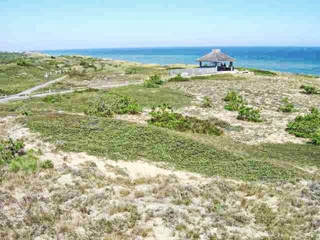
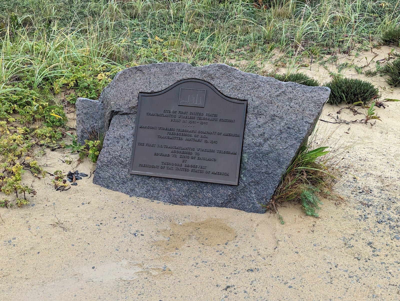
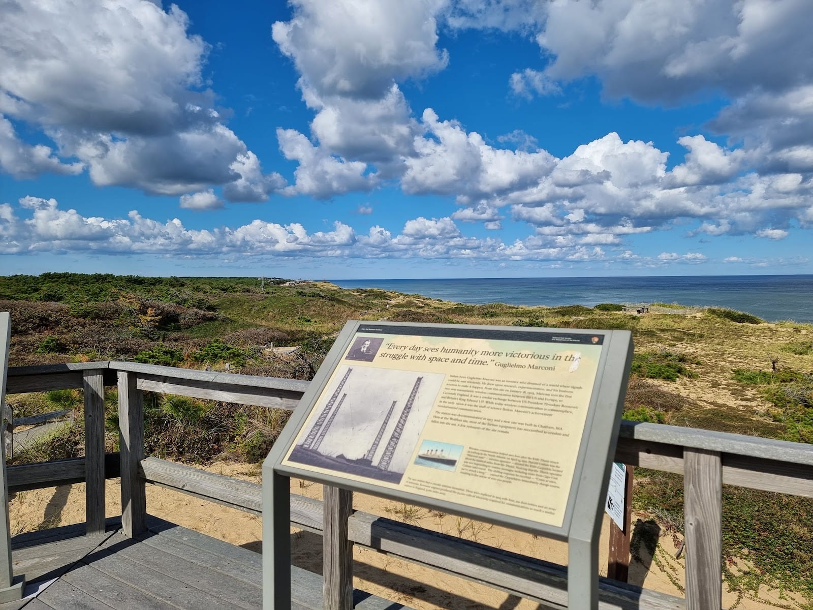 Wellfleet Worth it
Marconi Wireless Station Historic Site
The spot where the first transatlantic wireless message crossed the Atlantic in 1903, though the sea has since swallowed the station.
On January 18, 1903, Guglielmo Marconi's station here carried the first public two-way transatlantic wireless message, relaying Morse code between President Theodore Roosevelt and King Edward VII. The setup was audacious for its time: four 210-foot wooden towers and kerosene engines producing 2,200 volts, stepped up to 25,000 through a Tesla transformer, with a spark-gap rotor loud enough to be heard four miles downwind, which is why broadcasts ran only late at night. The Navy shut it down in 1917 for wartime security, it was scrapped by 1920, and coastal erosion at roughly three feet a year has since carried the original site entirely into the Atlantic. What's left is a short paved path, two overlooks, and a memorial marker, about fifteen minutes' worth of a stop. It's a quiet, honest footnote rather than a monument, and worth it precisely because it doesn't oversell itself.
Freeon GoogleGood for solo, couples, families


Verdicts and rankings are our own; ratings open each place on Google. Prices, where shown, are an approximate per-person guide in USD.
Getting around
Getting around Cape Cod National Seashore
You need a car (mostly)
The seashore stretches 40 miles across four towns. Beaches, trailheads, and both visitor centers are miles apart with no public transit connecting them; plan on driving between stops.
Bike the seashore's own trails
The paved Nauset Bike Trail (Eastham) and Province Lands Bicycle Trail (Provincetown) sit inside the park and connect out to the longer Cape Cod Rail Trail, which runs roughly 25 miles further south toward Dennis.
Passes and fees
Individual beaches charge seasonal per-vehicle entrance fees (roughly $15-20). An America the Beautiful annual, senior, or military pass covers them all, the same as at any other NPS site.
Coast Guard Beach runs a shuttle
In summer, direct parking at Coast Guard Beach is restricted to Eastham residents; most visitors park at the Little Creek staging area and ride a seasonal shuttle in instead.
Where to stay
Where to stay near Cape Cod National Seashore
Eastham
The seashore's southern anchor, closest to Coast Guard Beach, Nauset Light, and Fort Hill, with Salt Pond Visitor Center as your year-round base for orientation.
Wellfleet
A quieter Outer Cape town built around Marconi Beach and the Great Island Trail, with its own well-regarded restaurant scene a few minutes from the dunes.
Truro
The sparsest of the four towns, sitting between Wellfleet and Provincetown, good for travelers who want proximity to Race Point without Provincetown's crowds.
Provincetown
The liveliest base, with Race Point and Herring Cove beaches and the Province Lands Visitor Center a short bike or drive from a full town of restaurants and nightlife.

Where to stay on Cape Cod
Compare every Cape Cod town and find the right base for your seashore trip.
View the guideWho it's for
Cape Cod National Seashore for families, friends, and couples
- The seashore for families
- Salt Pond and Province Lands visitor centers both have easy exhibits for kids, the Nauset Bike Trail is flat and paved, and Fort Hill's mile loop is short enough for younger legs with a real payoff of marsh views and grazing sheep.
- The seashore for hikers and outdoors people
- This is where the real trails are: Great Island's tide-dependent trek out to Jeremy Point, the soft-sand slog into the Province Lands dune shacks, and six official beaches to choose a swim from.
- The seashore for history and lighthouse fans
- The Three Sisters lighthouses, Marconi's eroded wireless site, and the 1937 Coast Guard station all pack outsized history into small stops, easy to string together into a slow, low-key day.
More of Cape Cod
Nearby neighborhoods
A short hop from Cape Cod National Seashore, and worth pairing on the same trip.
Eastham
Home to Coast Guard Beach, Nauset Light, and the Seashore's year-round Salt Pond Visitor Center, the town most people actually mean when they picture the National Seashore.
Explore EasthamWellfleet
The oyster town anchoring Marconi Beach and the Great Island Trail, with its own OysterFest every October.
Explore WellfleetProvincetown
The dune-backed tip of the Cape, where Race Point Beach and the Province Lands Visitor Center sit inside the Seashore's boundary.
Explore Provincetown

Ready to plan your Cape Cod National Seashore trip?
Tell Zoya, your personal travel assistant, how you like to travel, and she'll turn any of this into a day-by-day plan that fits your dates.
Explore now